
Introduction
Somewhere above you right now, there are at least four satellites traveling at 14,000 kilometers per hour, each carrying atomic clocks accurate to one billionth of a second, all broadcasting radio signals that your phone uses to know exactly where you are. But how do GPS satellites work — and what keeps them doing this, flawlessly, every second of every day?
GPS satellites are among the most complex and critical machines ever built by humanity. They are the invisible infrastructure of the modern world — used not just for navigation but for synchronizing global financial systems, internet routing, emergency services, and scientific research. In this guide, we explain everything about how GPS satellites work from orbit mechanics to signal transmission.
The GPS Satellite Constellation: An Overview
The GPS satellite system is officially called NAVSTAR GPS (Navigation Satellite Timing and Ranging Global Positioning System). It is maintained by the United States Space Force.
The current constellation consists of:
- 31 operational satellites (minimum 24 required for full coverage)
- Organized in 6 orbital planes at 60-degree intervals
- Each plane contains 4 or more satellites
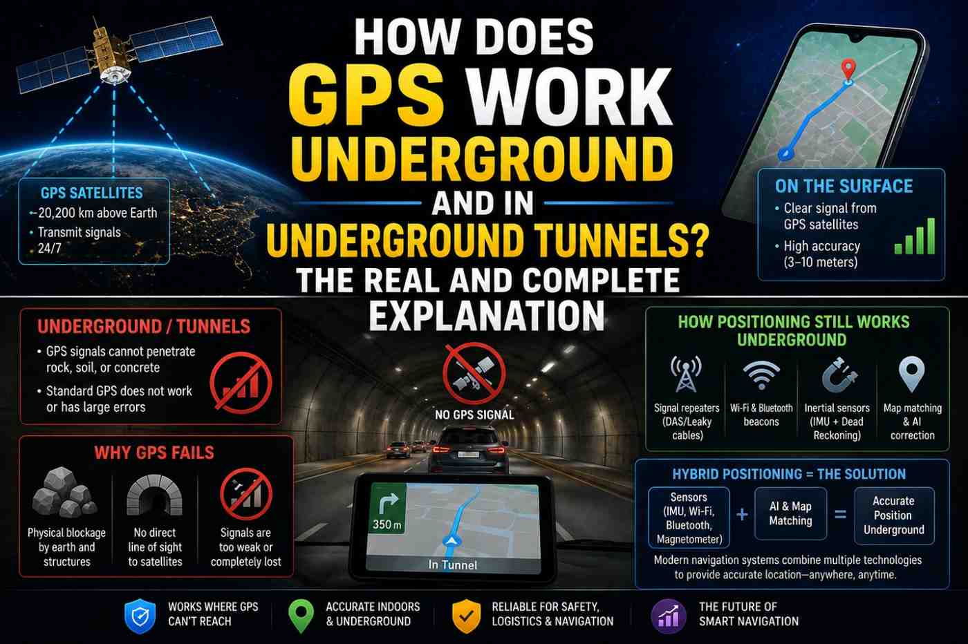
- Orbital altitude: 20,200 kilometers above Earth
- Orbital period: 11 hours 58 minutes (approximately 12 hours)
- Orbital inclination: 55 degrees from the equatorial plane
This configuration ensures that from virtually any point on Earth’s surface, at least four GPS satellites are above the horizon at all times — the minimum required for accurate 3D positioning.
Also Read :How Does GPS Work on Phones? 7 Surprising Facts That Will Surprise You
How Do GPS Satellites Work? Inside a GPS Satellite
Structure and Power
A modern GPS satellite (Block III series, the latest generation) is approximately the size of a car, weighing about 2,000 kilograms at launch. Key physical features:
- Solar panel arrays spanning approximately 5.3 meters — generating over 1,700 watts of power
- Battery backup — sustains operations during Earth shadow periods (when the satellite passes through Earth’s shadow)
- Attitude control thrusters — maintain precise orbital position and antenna pointing
- Reflective thermal coating — manages the extreme temperature swings of space (from -180°C to +150°C in shadow/sunlight cycles)
Atomic Clocks: The Heart of GPS Accuracy
The most critical components aboard every GPS satellite are its atomic clocks. Each satellite carries multiple redundant clocks:
- Rubidium atomic clocks — compact and reliable, accurate to about 1 millisecond per 30,000 years
- Cesium atomic clocks — slightly more accurate, used in older satellites
- Block III satellites carry Rubidium Atomic Frequency Standards (RAFS)** with even higher stability
These clocks maintain time to within 20–30 nanoseconds of each other. The reason GPS requires such extraordinary timekeeping: light travels 30 centimeters in one nanosecond. A one-microsecond timing error produces a 300-meter position error.
Ground control stations continuously monitor clock drift and upload corrections. Without this maintenance, even atomic clocks drift over time.
Signal Transmission
GPS satellites broadcast signals on multiple radio frequencies in the L-band (1–2 GHz range):
| Signal | Frequency | Primary Use |
|---|---|---|
| L1 C/A | 1575.42 MHz | Standard civilian positioning |
| L2C | 1227.60 MHz | Enhanced civilian accuracy |
| L5 | 1176.45 MHz | Safety-of-life applications, dual-frequency |
| L1/L2 P(Y) | Military encrypted | Precision military use |
Each signal contains:
- PRN (Pseudo-Random Noise) code — a unique identifier for each satellite
- Navigation message — satellite orbital data, clock correction data, almanac (data about other satellites)
- Time stamp — the exact time of transmission from the atomic clock
The total signal power transmitted by a GPS satellite is only about 50 watts — similar to a household light bulb. By the time this signal travels 20,200 km to your phone, it is extraordinarily weak.
Also Read :How Does GPS Work on Phones? 7 Surprising Facts That Will Surprise You
GPS Satellite Orbits: Why 20,200 Kilometers?
The altitude of GPS satellites is not arbitrary. It was chosen for several critical reasons:
Orbital Mechanics at MEO
At 20,200 km, GPS satellites orbit in Medium Earth Orbit (MEO) — higher than low Earth orbit (LEO) where the International Space Station orbits, but lower than geostationary orbit (GEO) at 36,000 km where television satellites operate.
MEO offers three key advantages:
- Ground coverage — each satellite covers approximately one-third of Earth’s surface, requiring fewer satellites for global coverage than LEO
- Signal travel time — shorter delay than GEO satellites, which have a ~240ms signal delay
- Orbital stability — MEO orbits experience less atmospheric drag than LEO and require fewer corrections
The Van Allen Belt Consideration
GPS satellites orbit just above the inner Van Allen radiation belt — a region of intense charged particle radiation surrounding Earth. The satellites’ electronics are hardened to withstand this radiation, and their orbital altitude keeps them clear of the most damaging inner belt region.
How Ground Control Keeps GPS Working
The GPS ground control segment continuously maintains the satellite constellation:
Master Control Station (MCS)
Located at Schriever Space Force Base, Colorado, the MCS:
- Processes all tracking data from global monitor stations
- Calculates precise orbital parameters (ephemeris) for each satellite
- Computes clock corrections
- Commands satellite maneuvers when orbital adjustments are needed
- Manages anomaly resolution when satellites malfunction
Global Monitor Stations
A network of monitoring stations on every continent and major oceanic island continuously tracks all visible GPS satellites, measuring signal quality, timing, and orbital parameters. This data flows to the MCS for processing and corrective action.
Clock Correction Uploads
Even atomic clocks drift slightly over time. Ground control uploads clock correction data to each satellite multiple times per day, ensuring timing accuracy remains within the required threshold.
Also Read:How Does AI Language Translation Work? The Complete Guide to Google Translate Explained 2026
GPS Satellite Generations: From Block I to Block III
| Generation | Era | Key Improvements |
|---|---|---|
| Block I | 1978–1985 | Prototype/development satellites |
| Block II/IIA | 1989–1997 | Full operational constellation |
| Block IIR | 1997–2004 | Cross-link capability, autonomous navigation |
| Block IIR-M | 2005–2009 | Second civilian signal (L2C) |
| Block IIF | 2010–2016 | Third civilian frequency (L5) |
| Block III | 2018–present | Enhanced accuracy, anti-jamming, L1C |
The latest Block III satellites (built by Lockheed Martin) deliver three times the accuracy of older satellites, have improved anti-jamming capabilities, and are designed for a 15-year operational life.
What Happens When a GPS Satellite Fails?
The constellation is designed with enough redundancy that individual satellite failures do not cause service outages. With 31 operational satellites versus the required 24, there is substantial margin for failure and maintenance.
When a satellite fails or requires retirement:
- Backup satellites in the constellation fill the coverage gap
- A replacement satellite is launched (GPS satellites are launched on United Launch Alliance rockets)
- Ground control conducts an on-orbit checkout period (typically several months)
- The new satellite enters service and the retired one is decommissioned
Also Read:How Does AI Language Translation Work? The Complete Guide to Google Translate Explained 2026
FAQs: How Do GPS Satellites Work
Q1: How do GPS satellites stay in orbit? GPS satellites orbit at 20,200 km where Earth’s gravity provides the centripetal force for stable orbits. Small onboard thrusters occasionally correct orbital drift.
Q2: How long do GPS satellites last? Block II/IIA satellites were designed for 7.5-year lifespans but many lasted 15+ years. Current Block III satellites are designed for 15-year operational lives.
Q3: Do GPS satellites need to be recharged? No. They generate power continuously from solar panels and use backup batteries during orbital shadow periods.
Q4: How many GPS satellites are currently in orbit? As of 2026, there are 31 operational GPS satellites, with additional satellites in reserve or undergoing checkout.
Q5: Can GPS satellites see my location? No. GPS satellites broadcast signals but receive nothing from users. They have no knowledge of who is receiving their signals or where.
Q6: What happens to GPS during a solar storm? Intense solar activity can cause ionospheric disturbances that delay GPS signals and reduce accuracy. Modern dual-frequency receivers can compensate for much of this effect.
Conclusion
Understanding how do GPS satellites work reveals the extraordinary scale of engineering that underpins something most people use without a second thought. Thirty-one machines orbiting 20,200 kilometers above Earth, each carrying atomic clocks more accurate than anything previously built, broadcasting signals across 20,000 kilometers of space to a chip in your pocket — all for free, all the time. The next time your navigation loads instantly, you will know exactly what silent miracle made it happen. Explore the current status of every GPS satellite at GPS.gov Satellite Status and track live satellite positions at N2YO.com.