Introduction
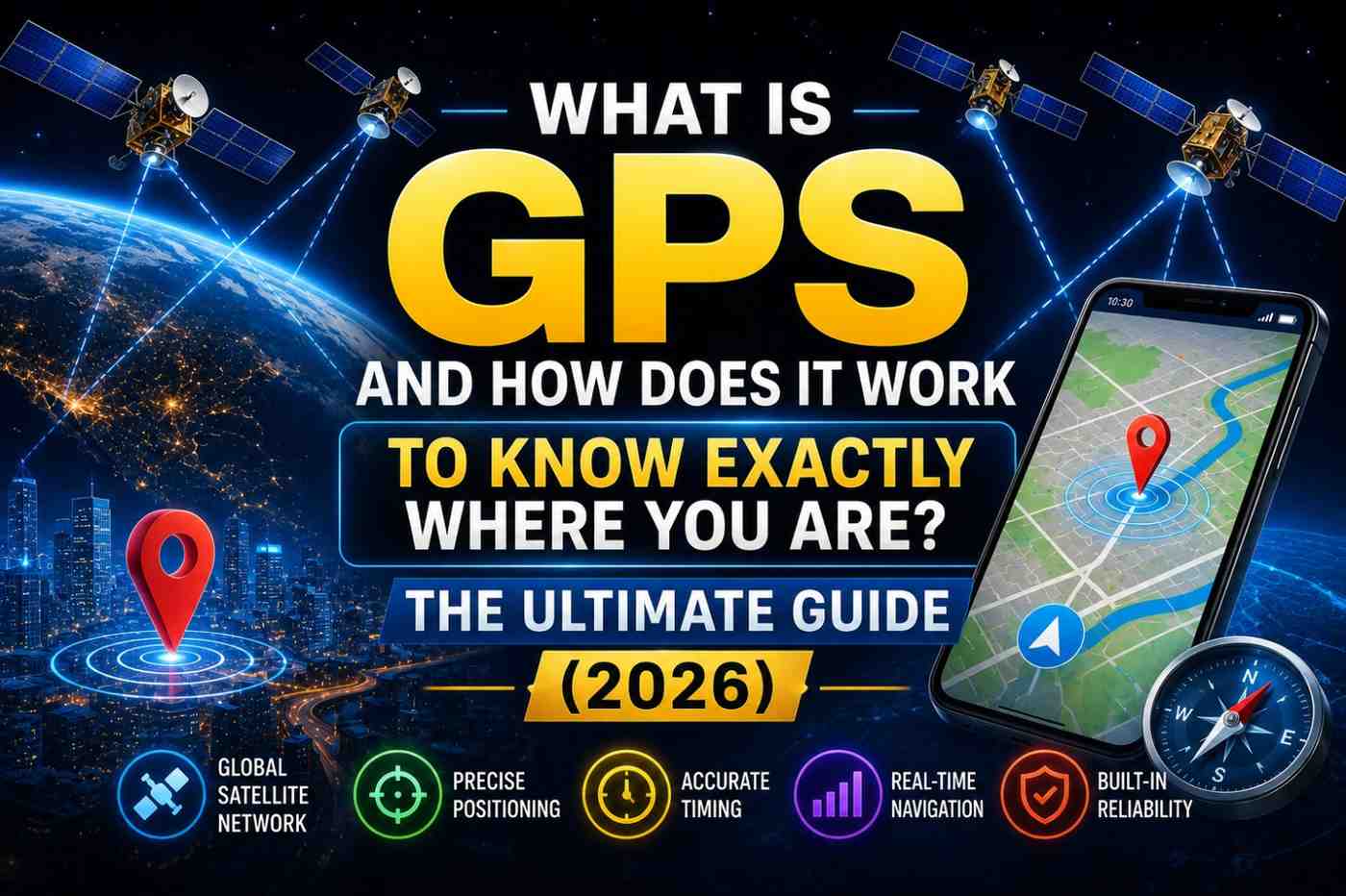
Every time you ask for directions, track a delivery, or check in on social media, a remarkable system is silently doing its job. That system is GPS — and what is GPS and how does it work is a question with a genuinely fascinating answer. It involves satellites, the laws of physics, atomic-level timekeeping, and mathematics that would have seemed miraculous just fifty years ago.
GPS has become so embedded in modern life that most people never think about it. But behind every location ping is a story of Cold War technology, space engineering, and one of humanity’s greatest navigation achievements. This guide explains everything — from what GPS actually is to exactly how it knows where you are.
What Is GPS?
GPS stands for Global Positioning System. It is a satellite-based radio navigation system owned and operated by the United States Space Force (formerly the US Air Force). It provides geolocation and time information to any GPS receiver anywhere on Earth — at any time and in any weather — free of charge.
The system was originally developed in the 1970s for US military use. It was made available for civilian use in 1983 after a Soviet fighter jet shot down a Korean Air passenger plane that had strayed off course — an event that might have been prevented with GPS navigation. Full civilian capability was officially available by 1995.
Today, GPS is one of the most critical infrastructure systems on the planet — used not just for navigation, but for timing telecommunications networks, financial transactions, power grids, and scientific research.
Also Read :What Is Generative AI and How Does It Work? Is It Changing Technology? The Ultimate 2026 Guide
What Is GPS and How Does It Work? The Three Segments
GPS is not just satellites. It is a complete system organized into three interconnected segments:
Segment 1: The Space Segment
The space segment consists of at least 24 operational GPS satellites in orbit — typically 31 satellites are maintained for redundancy and improved coverage. These satellites orbit Earth at an altitude of approximately 20,200 kilometers in medium Earth orbit (MEO).
They are arranged in six orbital planes tilted 55 degrees relative to the equator, ensuring that at least four satellites are visible from virtually any point on Earth’s surface at all times.
Each satellite:
- Orbits Earth twice per day
- Carries multiple atomic clocks (cesium and rubidium) accurate to one nanosecond
- Continuously broadcasts navigation signals on multiple frequencies
- Is powered by solar panels with battery backup during Earth shadow periods
- Has an operational lifespan of approximately 10–15 years
Segment 2: The Control Segment
The control segment is a global network of ground stations that:
- Monitor satellite health and signal quality
- Upload updated navigation data (ephemeris and almanac)
- Correct satellite clock errors
- Adjust orbital positions using onboard thrusters when necessary
The master control station is located at Schriever Space Force Base in Colorado, USA, with monitoring stations on every continent and several oceanic islands.
Segment 3: The User Segment
The user segment is everything that receives GPS signals — your smartphone, car navigation system, wristwatch, aircraft, ship, agricultural equipment, and any other GPS-enabled device.
GPS receivers in this segment are passive — they only receive signals, never transmit. This means the system supports unlimited simultaneous users with no degradation in service.
Also Read :What Is Generative AI and How Does It Work? Is It Changing Technology? The Ultimate 2026 Guide
How Does GPS Know Where You Are? The Physics of Positioning
The brilliance of GPS lies in its elegant use of a single physical principle: the relationship between the speed of light, time, and distance.
Step 1: Signal Broadcast
Each GPS satellite continuously broadcasts a signal containing:
- The satellite’s precise location at the time of broadcast (from orbital data)
- The exact time of broadcast (from onboard atomic clocks)
- A unique identification code
Step 2: Signal Reception and Time Measurement
Your GPS receiver captures these signals and notes the precise time each signal arrives. The receiver compares the satellite’s sent-time stamp to the arrival time. Even at the speed of light, a signal from 20,200 km takes about 67 milliseconds to arrive.
Step 3: Distance Calculation
Using the formula: Distance = Speed × Time
Speed = speed of light (299,792,458 m/s) Time = travel time of the signal
This gives the receiver its exact distance from that satellite — placing the receiver somewhere on an imaginary sphere around that satellite.
Step 4: Sphere Intersection (Trilateration)
With distance from a second satellite, the receiver is at the intersection of two spheres — a circle. A third satellite narrows this to two points. A fourth satellite (and the Earth’s surface constraint) resolves the position to a single point in three-dimensional space.
This process is called trilateration (commonly but incorrectly called triangulation) and happens continuously, dozens of times per second.
Why Atomic Clocks Are the Heart of GPS Accuracy
The entire GPS system depends on time. An error of just one nanosecond (one billionth of a second) in the signal timing creates a position error of 30 centimeters. An error of one microsecond creates a 300-meter error.
GPS satellites carry multiple atomic clocks that maintain accuracy to within 20–30 nanoseconds. Ground control stations continuously monitor and correct clock drift.
Your GPS receiver does not contain an atomic clock — it is far too expensive and bulky. Instead, it uses the fourth satellite signal to mathematically solve for its own clock error, effectively synchronizing to atomic time precision.
This is one of the most elegant mathematical tricks in modern engineering.
Also Read: How does AI image generation works? The Ultimate Truth Behind Tools Like Midjourney 2026
GPS vs. Other Global Navigation Satellite Systems (GNSS)
GPS is the original and most widely used, but it is not the only global navigation system. Modern devices typically use multiple systems simultaneously:
| System | Operated By | Satellites | Coverage |
|---|---|---|---|
| GPS | United States | 31 | Global |
| GLONASS | Russia | 24 | Global |
| Galileo | European Union | 30 | Global |
| BeiDou | China | 35+ | Global |
| QZSS | Japan | 4 | Asia-Pacific |
| NavIC | India | 7 | South Asia region |
Using multiple constellations simultaneously — called multi-GNSS — significantly improves positioning accuracy and availability, especially in urban areas where some sky view is blocked.
Real-World Accuracy of GPS
Standard civilian GPS accuracy has improved dramatically over the decades:
- 1990s (with Selective Availability) — intentionally degraded to ~100 meters
- 2000 (SA disabled) — improved to ~15–20 meters
- 2010s (multi-constellation) — typically 3–5 meters
- 2020s (dual-frequency GNSS) — 1–2 meters for premium devices
- DGPS/RTK correction — centimeter-level for professional/surveying use
FAQs: What Is GPS and How Does It Work
Q1: What is GPS and how does it work in simple terms? GPS is a system of satellites that broadcast time signals. Your receiver measures how long each signal takes to arrive, calculates distances to multiple satellites, and determines your exact position where those distances intersect.
Q2: Who owns GPS? GPS is owned and operated by the United States government (Space Force), funded by US taxpayers, and provided free to all users worldwide.
Q3: How many satellites does GPS use? The GPS constellation maintains at least 24 operational satellites, typically 31, ensuring at least 4 satellites are visible from anywhere on Earth at all times.
Q4: Is GPS affected by weather? GPS radio signals pass through atmospheric conditions including clouds, rain, and fog with minimal impact. However, severe ionospheric disturbances (solar storms) can reduce accuracy.
Q5: What is the difference between GPS and GNSS? GPS specifically refers to the US satellite system. GNSS (Global Navigation Satellite System) is the umbrella term for all satellite navigation systems including GPS, GLONASS, Galileo, and BeiDou.
Q6: How accurate is GPS for everyday navigation? Consumer GPS devices typically achieve 3–5 meter accuracy. Dual-frequency GPS in premium smartphones can achieve 1–2 meter accuracy under good conditions.
Conclusion
Understanding what is GPS and how does it work reveals one of humanity’s most impressive technological achievements — a system that turns atomic timekeeping and orbital mechanics into a blue dot on your phone screen. From its Cold War military origins to its role as a backbone of modern civilization, GPS has quietly transformed every aspect of daily life. Explore the official technical documentation at GPS.gov and see exactly how many satellites are above you right now using In-The-Sky.org.
Also Read: How does AI image generation works? The Ultimate Truth Behind Tools Like Midjourney 2026